Satellites mapped the Antarctic ozone hole from above
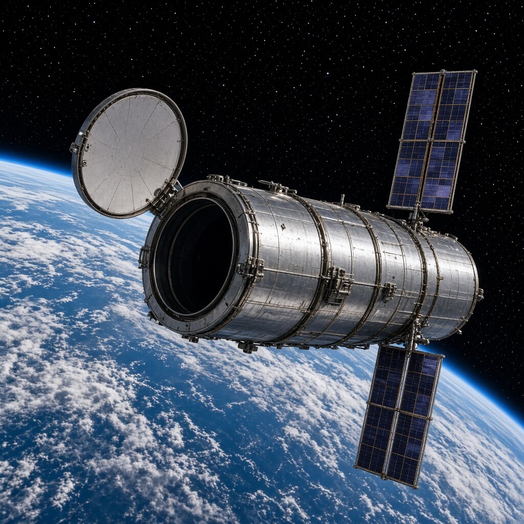
From the late 1970s, NASA’s TOMS and later Aura’s OMI instruments tracked a seasonal thinning of stratospheric ozone over Antarctica — the famous ozone hole — by measuring ultraviolet backscatter from space.
Those orbiting maps showed how chlorine chemistry after polar night carved a vast springtime deficit, and how the Montreal Protocol’s chemical bans slowly healed the gap. Ground stations alone could not see the whole oval.
A wound in the sky became a spreadsheet of recovery. Space-based ozone monitors turned a polar crisis into a global success story you can still watch each austral spring.









Comments
0 comments