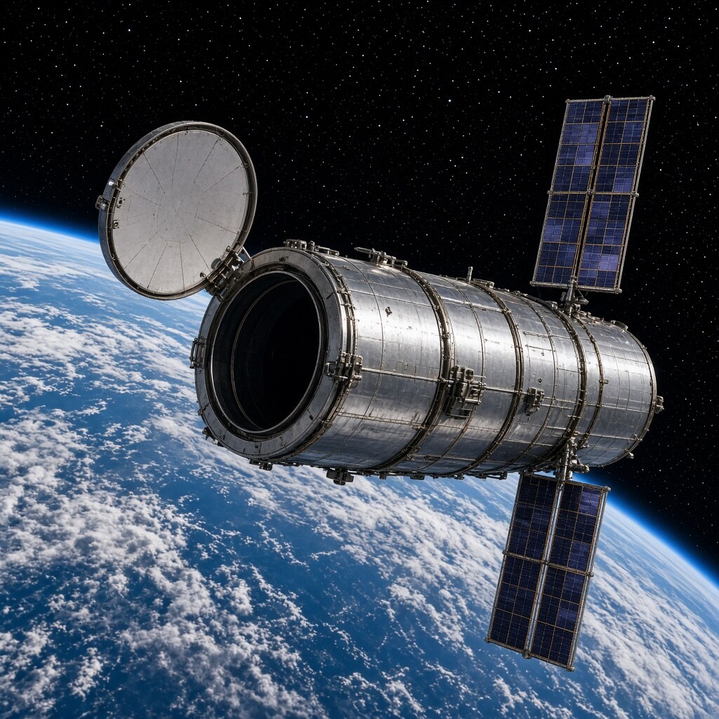
Laser and radar altimeters on ICESat, CryoSat, and follow-ons bounce pulses off Greenland and Antarctica, measuring ice-surface height changes year after year to within centimeters.
Thinning and speeding outlet glaciers show up as altitude loss; combining height with gravimetry (GRACE) separates ice melt from snow and bedrock bounce. The numbers feed sea-level rise budgets.
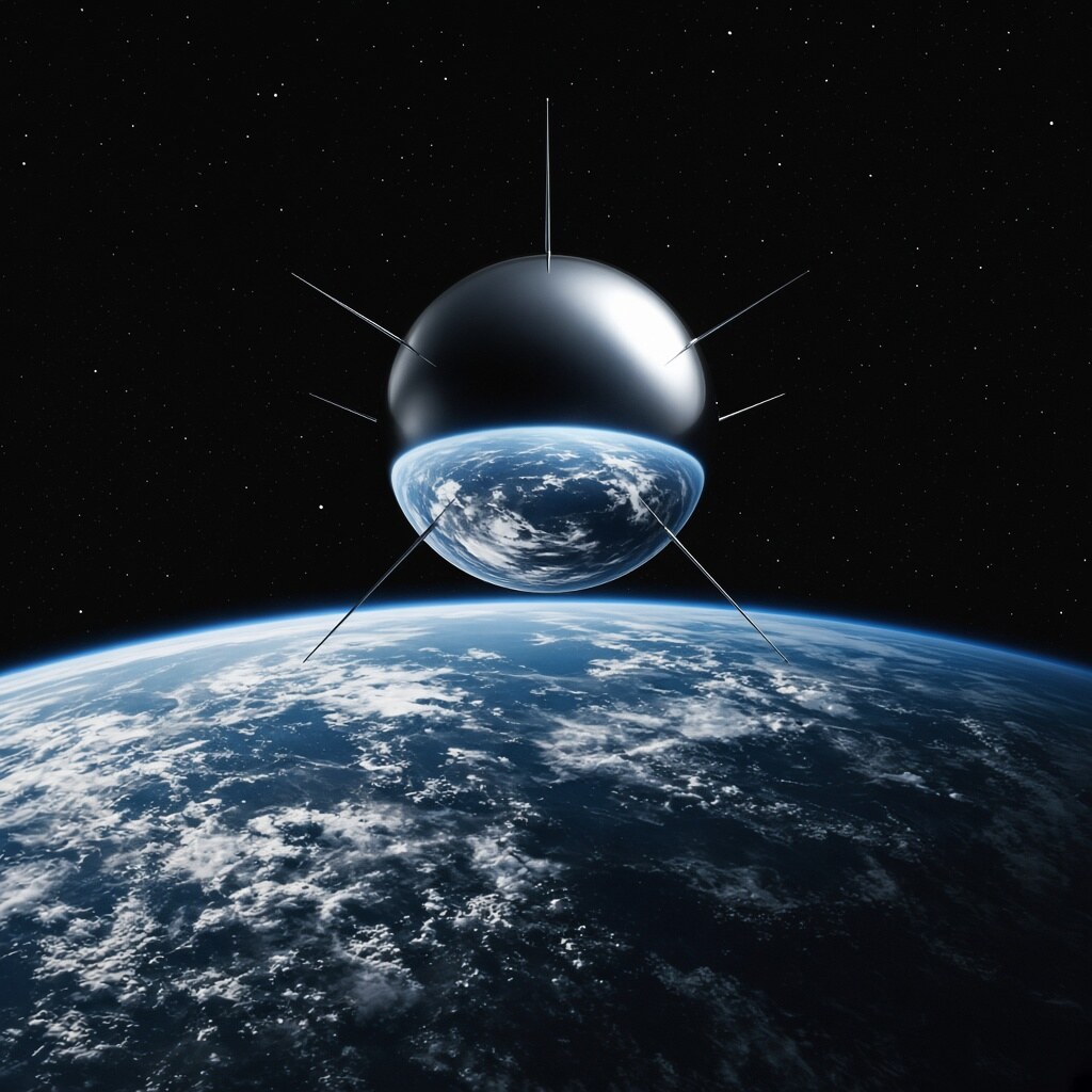
Polar ice keeps a height ledger in orbit. Altimetry from space turns silent ice sheets into a measurable climate clock.









Comments
0 comments